
Resolute (RES) Magnetic Observatory
| Name | Resolute |
|---|---|
| IAGA alphabetic code | RES |
| IAGA numeric code | 015265 |
| Geographic coordinates | 74.690° N, 265.105° E |
| Geomagnetic coordinates (IGRF-12 (2015)) | 82.61° N, 51.49° W (2015.0) |
| Elevation | 30 m |
| First year | 1948 |
| Observatory data | link |
For more information about IAGA, please visit the IAGA web site.
The Resolute Bay Geomagnetic Observatory was established in Resolute on Cornwallis Island, North West Territories in 1948. However, photographic variometers capable of recording the changes in the geomagnetic field in three components were not placed in operation until November, 1953.
Digital recordings of the geomagnetic field were begun in July, 1973 with the installation of the Earth Physics Branch's AMOS Mk I. The aging AMOS MK I was replaced by the AMOS Mk III in December, 1980. In turn, the AMOS Mk III was replaced by the INTERMAGNET compliant CANMOS in mid-January, 1992.
CANMOS (Canadian Magnetic Observatory System) has been designed by the Geomagnetic Monitoring Service staff, who have developed the software to control the magnetometers and to process the basic digital data. CANMOS includes:
- a commercial tri-axial ringcore fluxgate magnetometer, mounted on a tilt-correcting suspension (of NRCan design)
- an Overhauser Proton Precession Magnetometer
- a bus-clock for timing control
- various storage media
- RS-232 outputs for 1 second, 5 second and 1 minute data streams
The AMOS MK I and III were instruments designed and manufactured by the then Dominion Observatory and Earth Physics Branch. These instruments differ significantly from a commercial version which was also named AMOS.
The Observatory is in an area consisting of Paleozoic limestone. Geomagnetic field intensity gradients are extremely small: a survey of the area has indicated a very low gradient in total field intensity with no natural anomaly greater than 50 nT within 1.5 km of the observatory site.
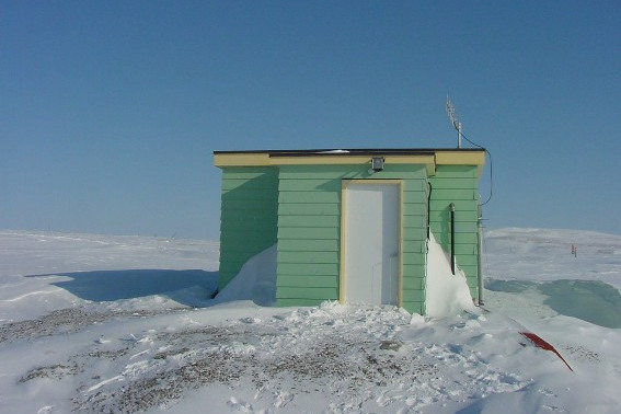
The original non-magnetic wooden prefabricated buildings, built in 1948 and 1953 respectively, were replaced in early 1967 by two new buildings situated approximately 30 metres from the older site. At present the Observatory is located on a raised beach line 30 m above sea level and approximately 450 m from the shore of Resolute Bay.